


Listado de servicios IDE
| Vista previa | Servicio - URL |
|---|---|

|
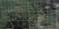
Ortofoto Territorial
https://idecan1.grafcan.es/ServicioWMS/Ortofoto? |
|
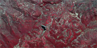
Ortofoto Infrarroja
https://idecan1.grafcan.es/ServicioWMS/OrtofotoCIR? |
|
Ortofoto IA (Inteligencia Artificial)
https://idecan1.grafcan.es/ServicioWMS/OrtofotoIA? |
|
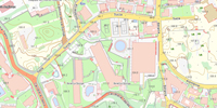
Mapa Topográfico Integrado
https://idecan2.grafcan.es/ServicioWMS/MTI? |
|
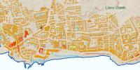
Mapa Topográfico 1:20.000
https://idecan1.grafcan.es/ServicioWMS/MT20? |
|
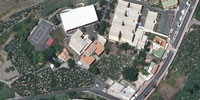
Fototeca
https://idecan2.grafcan.es/ServicioWMS/Fototeca? |
|
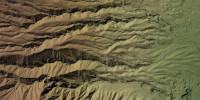
Modelo de Terreno LIDAR
https://idecan1.grafcan.es/ServicioWMS/MTL? |
|
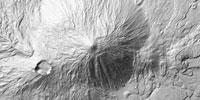
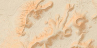
Modelo de Sombras
https://idecan1.grafcan.es/ServicioWMS/MDSombras? |
|
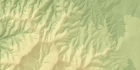
Hipsométrico
https://idecan1.grafcan.es/ServicioWMS/Hipsometrico? |
|
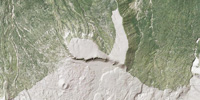
Topobatimétrico
https://idecan1.grafcan.es/ServicioWMS/Topobatimetrico? |
|
Clinométrico
https://idecan1.grafcan.es/ServicioWMS/Clinometrico? |
|
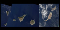
Ortofoto de satélite SENTINEL2
https://idecan1.grafcan.es/ServicioWMS/SENTINEL2? |
|
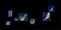
Ortofoto de satélite SENTINEL2 Super Resolution
https://idecan1.grafcan.es/ServicioWMS/SENTINEL2_SR? |
|
Cartografía estadística
https://idecan2.grafcan.es/ServicioWMS/CARTO_EST? |
|
Rescates de Toponimia
https://idecan2.grafcan.es/ServicioWMS/Toponimia? |
| Vista previa | Servicio - URL |
|---|---|
|
Mapa Callejero Turístico
https://idecan2.grafcan.es/ServicioWMS/Callejero? |
|
Imágenes de alta resolución (GIGAPAN)
https://idecan2.grafcan.es/ServicioWMS/Gigapan? |
|
Paisajes de Canarias EPAM
https://idecan2.grafcan.es/ServicioWMS/EPAM? |
Visite IDECanarias


Copyright 2020· All rights reserved
Designed by Zymphonies